Whatcom House · Lake Whatcom and the City water system, Bellingham
How Bellingham's water works
About 11 minutes. Drone footage: Genaro Shaffer. Pictures come from City, County, State and EPA documents, credited on screen.
Quick answers
Follow the water: tap a number
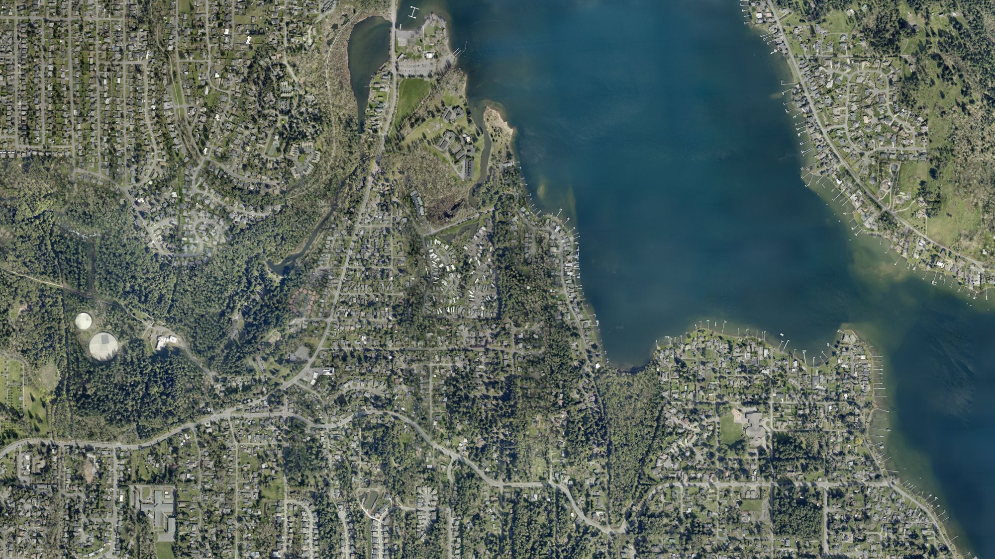
Aerial photo 2022: City of Bellingham
The numbers
Lake Whatcom level, daily (ft, City datum)
Middle Fork Nooksack flow, June to Oct 23, 2026 (cfs)
Lead at the tap, 90th percentile of homes tested (ppb)
Chlorine byproducts (TTHM), highest site (ppb)
The Middle Fork dam, 2013 and 2022
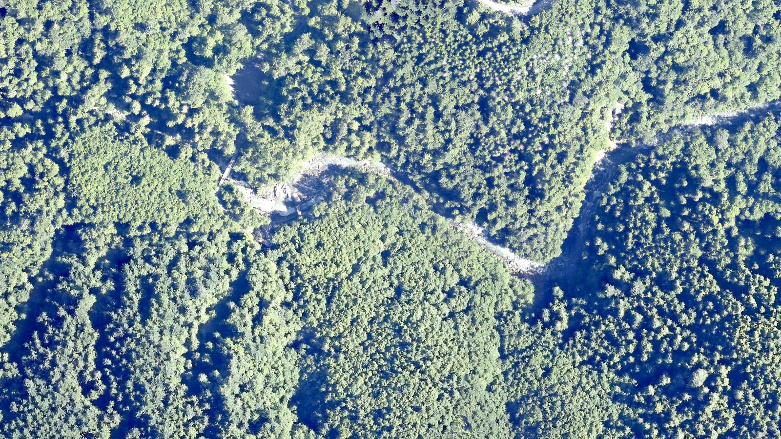
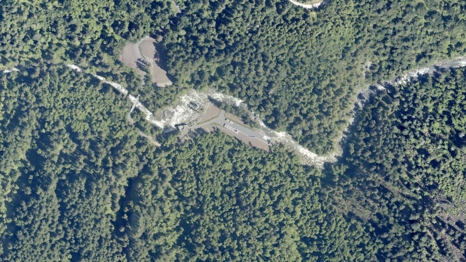 20132022
Drag across the photo. The dam came out in the summer of 2020; a new screened intake was built just upstream.
Aerial photos: Whatcom County (2013, 2022).